Translate


Connecting Taiwan's islands and regional destinations.
Founded
1995
Headquarters
Taipei, Taiwan
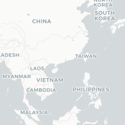
Uni Air is a Taiwanese regional airline operating as a subsidiary of EVA Air, providing domestic and short-haul international services across Taiwan and neighboring regions. Founded in the mid-1990s, the carrier has played an important role in linking Taiwan's outlying islands—such as Kinmen, Matsu, and Penghu—with the main island.
The airline operates under the IATA code B7 and ICAO code UIA, using the callsign 'Glory.' As part of the EVA Air group, Uni Air benefits from the resources and network of one of Taiwan's major international carriers, allowing it to maintain reliable regional connectivity.
Uni Air primarily serves passengers who need efficient domestic transportation within Taiwan, complementing EVA Air's longer-haul international routes and contributing to the overall aviation ecosystem in the country.
Hubs & network
Uni Air's primary hub is Taiwan Taoyuan International Airport, with significant operations also at Taipei Songshan Airport and Kaohsiung International Airport.
Fleet
Uni Air operates a fleet primarily composed of ATR 72 turboprop aircraft suited for short-haul and island-hopping routes.
Notable facts
- ›Uni Air is a wholly owned subsidiary of EVA Air.
- ›The airline serves Taiwan's outlying islands including Kinmen, Matsu, and Penghu.
- ›It uses the ICAO callsign 'Glory' for air traffic communications.
- ›Uni Air focuses on domestic routes that are not economically viable for larger jet aircraft.
- ›The carrier has historically operated Fokker 100 jets in addition to turboprop aircraft.
This profile is provided for general information only. Contact details may be inaccurate or outdated — always verify with the airline's official website before acting on them.