Gateway to the Black Hills and Mount Rushmore region.
Opened
1941
Location
Rapid City, United States
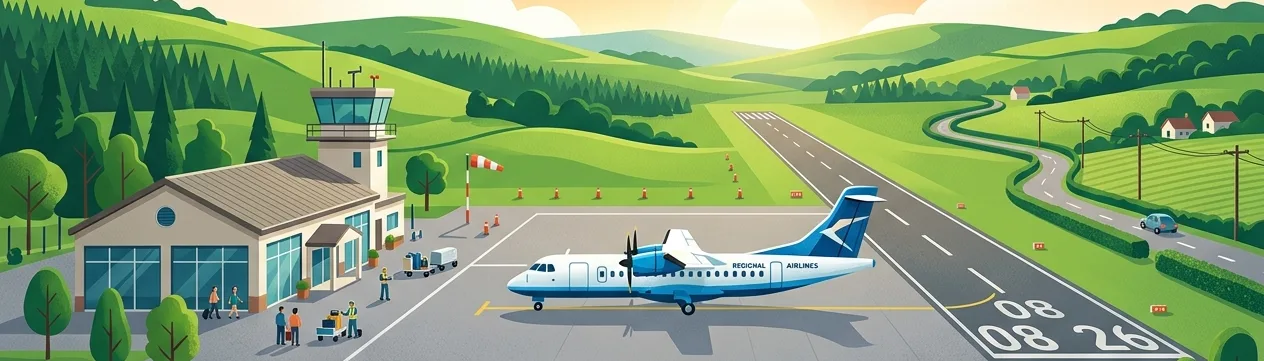
Rapid City Regional Airport (RAP/KRAP) is the primary commercial service airport serving Rapid City, South Dakota, and the surrounding Black Hills region. It sits at an elevation of approximately 3,202 feet above sea level and handles both commercial passenger traffic and general aviation operations.
The airport serves as an important gateway for tourism to nearby attractions including Mount Rushmore National Memorial, Badlands National Park, and Custer State Park. It is owned and operated by Pennington County and has undergone several modernization efforts over the decades to accommodate growing passenger demand.
Annual passenger traffic typically ranges in the low hundreds of thousands, reflecting the regional nature of the airport and the seasonal tourism patterns of the Black Hills area.
Terminals
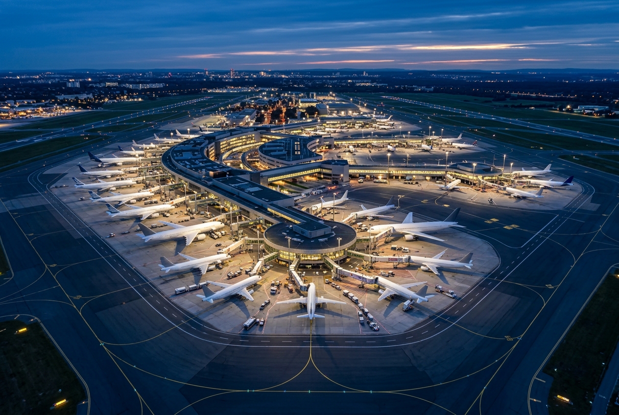
The airport has a single terminal building with multiple gates serving commercial airline operations.
Getting to & from
Ground transportation options include rental cars, taxis, and shuttle services connecting the airport to downtown Rapid City, approximately 10 miles away.
Airlines here
Major airlines serving RAP include United Airlines, Delta Air Lines, American Airlines, and Allegiant Air, offering connections to major hub cities.
Notable facts
- ›Located at an elevation of approximately 3,202 feet MSL, one of the higher-elevation commercial airports in the Midwest.
- ›Serves as a key gateway for visitors to Mount Rushmore National Memorial and Badlands National Park.
- ›Owned and operated by Pennington County, South Dakota.
- ›The airport supports both commercial airline service and a significant general aviation community.
- ›Passenger volumes experience strong seasonal peaks during summer tourism months.
This profile is provided for general information only. Details may be inaccurate or outdated — always verify with the airport's official website before acting on them.