

Serving remote Siberian regions with reliable air transport.
Founded
1953
Headquarters
Mirny, Russia
Alrosa Mirny Air Enterprise is a Russian regional airline based in Mirny, Sakha Republic (Yakutia), operating in one of the most remote and climatically challenging areas of Siberia. The airline is closely associated with the ALROSA diamond mining company, which is one of the world's largest diamond producers and has historically provided significant support to the carrier.
The airline primarily serves communities across the Sakha Republic and other remote areas of eastern Russia where air transport is essential due to the lack of road infrastructure. It operates scheduled and charter flights connecting isolated settlements to larger regional centers.
Alrosa Mirny Air Enterprise has operated a mix of Soviet-era and modern aircraft to serve its routes, adapting its fleet over time to meet operational demands in extreme Arctic and sub-Arctic conditions.
Hubs & network
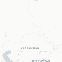
The airline's primary hub is Mirny Airport (MJZ) in the Sakha Republic, Russia.
Fleet
The airline has operated aircraft including the Antonov An-24, An-26, and Tupolev Tu-154, with fleet composition evolving over time.
Notable facts
- ›Closely linked to ALROSA, one of the world's largest diamond mining companies.
- ›Operates in the Sakha Republic (Yakutia), one of the coldest inhabited regions on Earth.
- ›Provides essential air connectivity to remote communities with no alternative transport infrastructure.
- ›Uses ICAO callsign MIRNY, reflecting its home city of Mirny.
- ›Mirny is home to one of the world's largest open-pit diamond mines, the Mir mine.
This profile is provided for general information only. Contact details may be inaccurate or outdated — always verify with the airline's official website before acting on them.