Translate
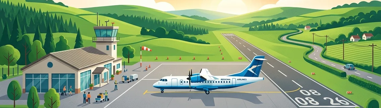
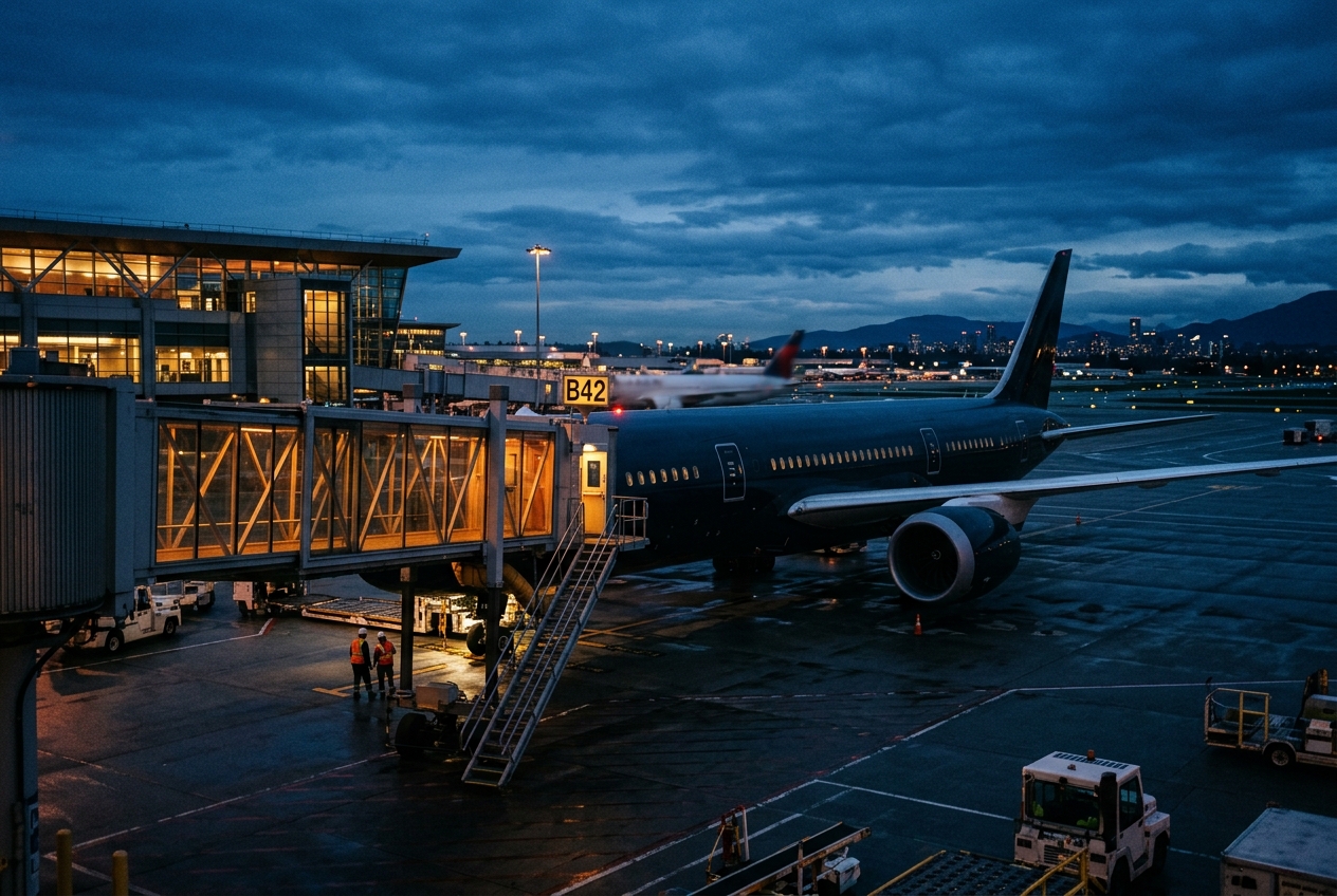
Twin-city gateway serving the Arkansas-Texas border region.
Opened
1942
Location
Texarkana, United States
Texarkana Regional Airport, also known as Webb Field, is a public airport serving the Texarkana metropolitan area, which straddles the border between Arkansas and Texas. It is owned and operated by the City of Texarkana, Arkansas, and serves both commercial and general aviation traffic.
The airport has historically offered limited scheduled commercial service connecting the region to major hubs, with American Airlines and its regional partners having provided connectivity over the years. Its relatively small size reflects the modest population of the Texarkana area while still fulfilling an important regional transportation role.
The facility supports general aviation, charter operations, and cargo services in addition to scheduled passenger flights, making it a versatile transportation hub for the bi-state community it serves.
Terminals
The airport has a single small terminal building handling all commercial passenger operations.
Getting to & from
Ground transportation options include rental cars and taxis connecting the airport to downtown Texarkana, located approximately five miles away.
Airlines here
American Eagle, operating as a regional affiliate of American Airlines, has historically been the primary carrier offering scheduled service at TXK.
Notable facts
- ›The airport's secondary name, Webb Field, honors a local figure from the area's aviation history.
- ›It sits on the Arkansas side of the Texarkana metro area despite serving both states.
- ›The airport has an elevation of approximately 390 feet above mean sea level.
- ›It originally served as a military airfield during World War II before transitioning to civilian use.
- ›The airport covers roughly 1,800 acres of land.
This profile is provided for general information only. Details may be inaccurate or outdated — always verify with the airport's official website before acting on them.