Translate

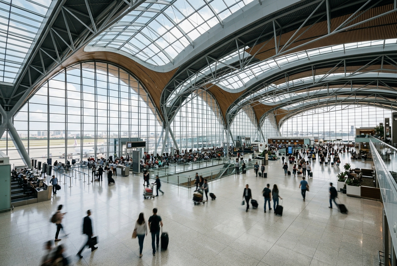
Central Pennsylvania's gateway serving Penn State University.
Opened
1929
Location
State College, United States
State College Regional Airport (SCE/KUNV) is a small commercial airport located in Centre County, Pennsylvania, serving the State College metropolitan area and the Pennsylvania State University community. It sits approximately 3 miles northwest of downtown State College near the borough of University Park.
The airport offers scheduled passenger service through regional carriers, with flights primarily connecting to major hub airports. Demand is driven significantly by Penn State University students, faculty, staff, and visitors attending events such as football games at Beaver Stadium.
Despite its relatively small size, the airport plays an important economic and logistical role for the region, providing air access to a community that is geographically isolated from larger metropolitan centers.
Terminals
The airport operates a single terminal building handling all commercial passenger operations.
Getting to & from
Ground transportation options include rental cars, taxis, rideshare services, and limited shuttle connections to the Penn State campus and downtown State College.
Airlines here
American Eagle (operated by Envoy Air and PSA Airlines) has historically been the primary carrier, offering connections to Philadelphia and other American Airlines hubs.
Notable facts
- ›The airport's ICAO code KUNV reflects its close association with the University of Pennsylvania State (Penn State).
- ›Penn State football game weekends generate significant spikes in passenger traffic.
- ›The airport elevation is approximately 1,239 feet above mean sea level.
- ›It is owned and operated by Centre County, Pennsylvania.
- ›The airport has faced periods of reduced or suspended commercial service due to its small market size.
This profile is provided for general information only. Details may be inaccurate or outdated — always verify with the airport's official website before acting on them.