Translate

Remote desert gateway serving Algeria's southeastern energy heartland.
Location
In Aménas, Algeria
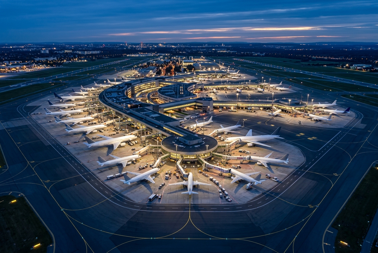
Zarzaitine - In Aménas Airport (IATA: IAM, ICAO: DAUZ) is a regional airport located near In Aménas, a town in the Illizi Province of southeastern Algeria. It primarily serves the surrounding oil and gas industry, providing air access to workers and personnel operating in one of Algeria's major hydrocarbon production zones.
The airport gained international attention in January 2013 following the In Aménas hostage crisis, when militant Islamist attackers targeted the nearby Tigantourine gas facility operated by BP, Statoil, and Sonatrach. The airport played a role in evacuation and response efforts during that crisis.
Given its remote Saharan location, the airport has limited commercial passenger services and largely supports energy-sector operations. Air Algérie provides scheduled connections to Algiers and other domestic destinations.
Terminals
The airport has a modest single-terminal facility suited to the limited passenger volumes of a remote regional desert hub.
Getting to & from
Ground transport to In Aménas town is limited, with road transfers being the primary means of reaching the airport from the local area.
Airlines here
Air Algérie is the primary carrier operating scheduled domestic services from In Aménas Airport.
Notable facts
- ›Located in the Illizi Province of the Sahara Desert in southeastern Algeria.
- ›Primarily serves oil and gas industry workers in the Zarzaitine–Tigantourine energy region.
- ›The airport was involved in evacuation efforts during the January 2013 In Aménas hostage crisis.
- ›Elevation is approximately 1,847 feet (563 meters) above sea level.
- ›Named after the nearby Zarzaitine oil field, one of Algeria's significant hydrocarbon areas.
This profile is provided for general information only. Details may be inaccurate or outdated — always verify with the airport's official website before acting on them.