Translate


Remote Alaska hub serving the Allakaket community.
Location
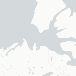
Allakaket, United States
Allakaket Airport (AET/PFAL) is a small general aviation facility serving the village of Allakaket, a remote community in the interior of Alaska situated along the Koyukuk River. The airport provides a critical lifeline for residents, as Allakaket is not connected to the Alaska road system and air travel is the primary means of reaching the outside world.
The airport is owned and operated by the U.S. federal government through the State of Alaska and serves scheduled and charter air taxi services connecting the village to larger regional hubs such as Fairbanks. It plays an essential role in delivering mail, supplies, and medical transport to this isolated community.
Terminals
The airport has no formal terminal building; facilities are minimal and typical of a rural Alaska bush airport.
Getting to & from
There is no public ground transportation; the village is accessible on foot or by local vehicles within the small community.
Airlines here
Small air taxi and regional carriers such as Warbelow's Air Ventures and similar bush operators provide scheduled and on-demand service.
Notable facts
- ›Allakaket is not connected to any road system, making the airport the primary access point for the community.
- ›The airport has a single gravel runway approximately 3,000 feet in length.
- ›Elevation is approximately 441 feet above mean sea level.
- ›The airport serves the Koyukon Athabascan community of Allakaket and the nearby village of Hughes.
- ›Winter operations can be challenging due to extreme cold, ice, and limited daylight in interior Alaska.
This profile is provided for general information only. Details may be inaccurate or outdated — always verify with the airport's official website before acting on them.