
AirlinesAirports.com
Travel planning byTravelerPulse.pro
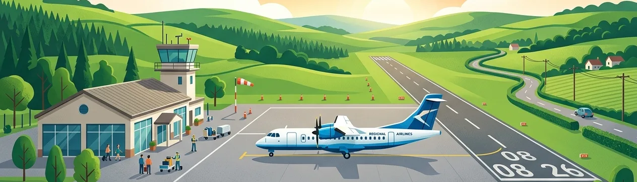
Abilene Regional Airport Regional Airport illustrationRegional Airport
Airports
ABImedium airport

Abilene Regional Airport

Abilene, United States
Explore Abilene city guide Navigate to this airport
2
Routes out
1
Destinations
KABI
ICAO
1791 ft
Elevation
AirlinesAirports profile

West Texas regional gateway serving Abilene and surrounding communities.

Opened
1939
Location
Abilene, United States
Abilene Regional Airport (ABI/KABI) is a public airport located approximately three miles south of downtown Abilene, Texas. It serves as the primary commercial aviation hub for the Big Country region of West Texas, handling both passenger and cargo operations. The airport is owned and operated by the City of Abilene and has historically been served by major regional carriers connecting Abilene to larger hub airports. Its facilities also support general aviation, military-adjacent operations given the nearby Dyess Air Force Base, and charter services. The airport underwent terminal improvements in the 2010s to modernize passenger facilities. Its relatively modest size reflects the regional nature of its traffic, though it plays an important economic role for the Abilene metropolitan area.
Terminals
The airport features a single terminal building with a small number of gates serving commercial passenger operations.
Getting to & from
Ground transport options include rental car agencies, taxis, and rideshare services connecting the airport to downtown Abilene and surrounding areas.
Airlines here
American Eagle (operated by regional partners of American Airlines) has historically provided primary service, offering connections to Dallas/Fort Worth International Airport.
Notable facts
  • Located approximately 3 miles south of downtown Abilene, Texas.
  • Sits at an elevation of approximately 1,791 feet above mean sea level.
  • Nearby Dyess Air Force Base influences local aviation activity in the region.
  • The airport is owned and operated by the City of Abilene.
  • Serves the broader Big Country region of West Texas.
This profile is provided for general information only. Details may be inaccurate or outdated — always verify with the airport's official website before acting on them.

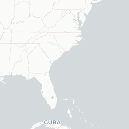
Route map (1 destinations)

Leaflet © OpenStreetMap © CARTO

Airlines serving this airport

Routes

ABI → DFWAA · ERD ER4 CRJ
ABI → DFWUS · ERD ER4
Hotels near ABI

Pick what matters for your layover or early flight, then compare on your favorite booking site.

Compare stays for your dates

AirlinesAirports may receive compensation when you book or purchase through some of the links on this page, at no additional cost to you. Prices and availability are set by the booking provider and may change. We never share your private trip details with partners — only the destination, dates and party size you searched.

City & Place Guide

Where the Wild West meets Eisenhower's heartland legacy

Abilene, Kansas sits in the heart of the Great Plains and holds a dual identity as the northern terminus of the legendary Chisholm Trail and the boyhood home of President Dwight D. Eisenhower. This small city of roughly 6,500 residents punches well above its weight in historical significance, drawing visitors eager to explore cowboy heritage and mid-century American history.

The downtown area retains a charming frontier character with brick-lined streets, local shops, and museums that bring the cattle-drive era vividly to life. Abilene is also a gateway to the rolling Kansas landscape, making it a pleasant stopover on a cross-country road trip along Interstate 70.

  • Dwight D. Eisenhower Presidential Library & Museum — comprehensive tribute to the 34th president
  • Eisenhower Boyhood Home — preserved Victorian house where Ike grew up
  • Old Abilene Town — recreated 1870s cowtown with gunfight shows and period architecture
  • Dickinson County Heritage Center — excellent local history and carousel museum
  • Greyhound Hall of Fame — unique museum celebrating the storied racing breed
  • Mud Creek Trail — easy paved path for biking and walking through scenic local nature

Getting around: Abilene is best explored by car, as public transportation is very limited. Taxis are available but scarce; rideshare options like Uber and Lyft operate in the area with variable wait times. Most major attractions are clustered near the downtown core and are walkable from one another once you park.

Best time: Late spring (April–May) and early fall (September–October) offer the most comfortable temperatures and fewer weather extremes for sightseeing.

Local food: Try a classic Kansas beef plate at a local steakhouse, and seek out homestyle pie at one of Abilene's diners for an authentic Midwestern dining experience.

This guide is provided for general information only. Verify details locally before making travel decisions.

Passport, Visa & Immigration

Flying internationally via ABI? Check entry, transit and customs requirements for United States from official government sources.

Abilene Regional Airport
Encyclopaedia

Abilene Regional Airport is a public airport located approximately 3 miles (4.8 km) southeast of downtown Abilene, in Taylor County, Texas. The airport is located within the Abilene city limits, and is and owned and operated by the city.

Read full article on Wikipedia