Translate


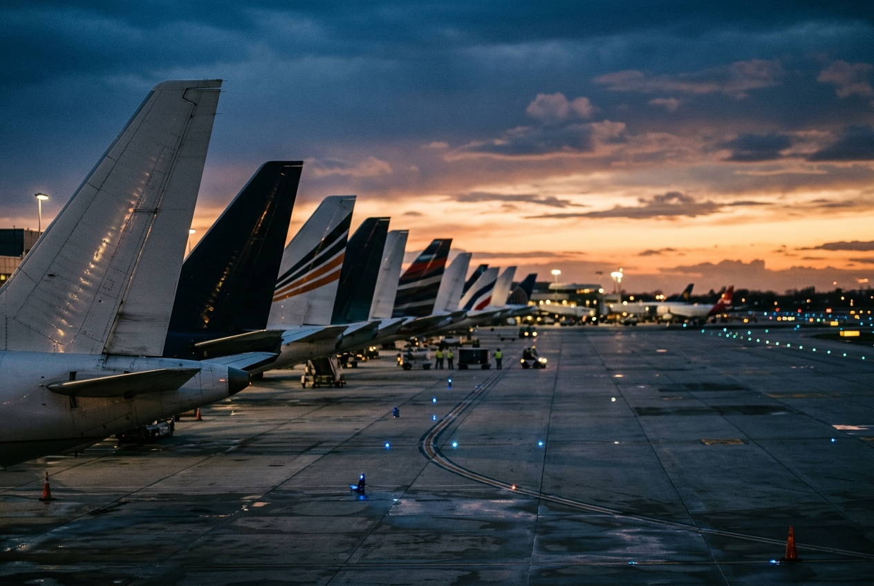
Connecting remote Alaska communities by air.
Founded
1979
Headquarters
Nome, United States
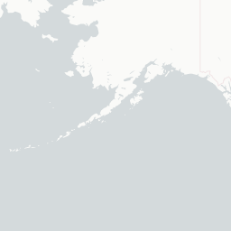
Bering Air is a regional Alaskan carrier headquartered in Nome, Alaska, specializing in scheduled and charter flights to remote communities in western Alaska and the Seward Peninsula. The airline plays a critical role in providing air access to villages that have no road connections, making it an essential lifeline for residents across the region.
Founded in 1979, Bering Air operates a diverse fleet of small aircraft suited to the challenging conditions of arctic and sub-arctic Alaska. The airline serves dozens of destinations including villages along the Bering Sea coast and in the Yukon-Kuskokwim Delta area.
Beyond passenger service, Bering Air provides vital cargo and mail delivery to isolated communities, as well as medevac and charter services. The airline is one of the largest bush carriers in Alaska, known for operating in some of the most demanding weather and terrain conditions in North America.
Hubs & network
Bering Air primarily operates out of Nome Airport (OME) in Nome, Alaska.
Fleet
Bering Air operates a mixed fleet of small propeller and turboprop aircraft including Cessna Caravans, Piper aircraft, and other light twins suited for bush operations.
Notable facts
- ›Bering Air serves over 30 remote villages in western Alaska with no road access.
- ›The airline provides essential medevac services to isolated communities in the region.
- ›Bering Air is one of the largest bush air carriers in the state of Alaska.
- ›The carrier operates under extreme weather conditions including arctic temperatures and low visibility.
- ›Cargo and mail delivery form a significant part of Bering Air's operations alongside passenger service.
This profile is provided for general information only. Contact details may be inaccurate or outdated — always verify with the airline's official website before acting on them.